Guess the Country by Outline
A map sits behind a panel of 24 windows and three are open to start. Usually that is one stretch of border and two of nothing, because two thirds of a map's area is not near an edge and the edges are the entire question.
The unopened area is solid rather than blurred, and that is a deliberate correction. Blur leaves a silhouette perfectly readable, and for a map the silhouette is the answer — the same mistake as blurring a flag and leaving its colour layout intact.
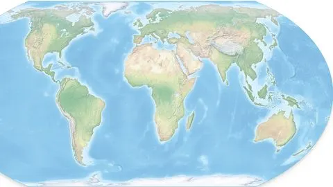
Name the country from the shape of it on a map.
Play Guess the Country by OutlineCoastline first, always
An open window on a coast is worth three inland. Coastlines are irregular in ways that are close to unique: a fjord field is Norway or Chile, a river delta bulging into the sea is Bangladesh or Egypt, a hooked peninsula is Malaysia or Denmark.
Straight borders are the opposite kind of information and just as useful. Long ruler-straight lines mean a border drawn by a colonial administration rather than by a river or a mountain range, which puts you in Africa, the Middle East or western North America. A country made mostly of straight lines with one wiggly edge is a short list.
Islands are the cheapest win in the game. If an opened window contains sea with small land fragments in it, you are looking at an archipelago — the Philippines, Indonesia, Japan, Fiji, the Caribbean — and you can usually name it from the spacing and orientation of the fragments alone.
The frame is a clue
The frame shape is not decoration. Thirty-eight of the 68 maps are wider than they are tall and thirty are taller than they are wide, and each seed carries its own orientation because the frame crops to fill: a 950 by 2132 map of Chile in a landscape frame shows the middle third of the country and throws the answer away.
Which means a portrait frame has already told you something before a single window opens. Chile, Norway, Sweden, Italy, Vietnam, Japan, Malawi-shaped countries — the tall ones are a distinct set, and so are the wide ones.
Where the maps come from
Not from the country article. On Chile, Italy, Japan and most of the rest, the lead image on the country's own Wikipedia page is the flag, which would make this the flag game with extra steps. The seeds point at Geography of X instead, which usually leads with a topographic or locator map, and where that fails — Ethiopia and DR Congo lead with landscape photographs — at the administrative-divisions article, which leads with an outline of the country cut into its internal borders. That is just as good a shape to guess from and occasionally better.
Countries whose best available image was a raw satellite photograph with no drawn coastline — Turkey, Thailand, Iceland, Denmark, Estonia — were left out rather than shipped as an unguessable rectangle of terrain.
The ladder and scoring
3 windows, then 7, 12, 18 and all 24. The cells open in a fixed pseudo-random order seeded by the round, so the same country always reveals itself the same way.
Ten rounds at 1000, 620, 380, 240 and 150. Twelve windows is half the panel and is normally enough for anyone who can picture the shape; if you cannot picture the shape, the last two rungs will not save you, so this is a game where an early skip to salvage 380 is often the right call.